

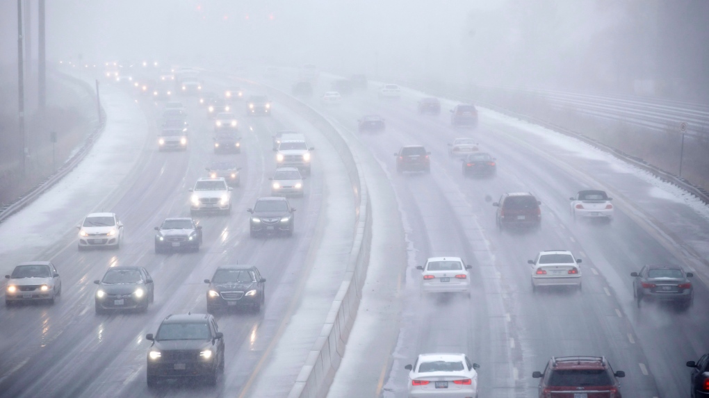
Environment Canada is alerting GTA residents to incoming snow today. The agency reports that snow bands off Lake Ontario will form through the day, bringing short bursts of heavy flakes and strong winds that will reduce visibility on major routes.
The agency issued a special weather statement warning that lake effect snow will affect parts of the Greater Toronto Area today and tonight. Total accumulation will stay light, yet fast-moving squalls and blowing snow will create sudden visibility drops. Drivers face the risk of hazardous travel as these bursts move through the region.
Toronto is expected to see squalls late this morning and through the afternoon. About two centimetres of snow is likely by late afternoon. Wind gusts between 40 km/h and 70 km/h are possible early in the day, followed by weaker winds later.
Snow squalls could linger into the evening. Up to two additional centimetres is possible overnight.
OPP Sgt. Kerry Schmidt urged drivers to stay aware of conditions that shift within seconds.
“If you are doing any driving or travelling and you end up into white out conditions, it can really catch drivers by surprise,” Schmidt said. “That’s where we often see problems, where people starting piling into one another because of those dramatically changing visibility and weather conditions.”
Schmidt advised drivers to clear snow from their vehicles and top up washer fluid before heading out.
“If you run out of washer fluid and you can’t clear that snow and road grime off your windshield, visibility is paralyzed and you have no way of seeing where you are going,” he said.
Toronto will reach a high of 2 C today before dropping to minus 2 C overnight. Friday brings a high near zero, with a wind chill near minus 8 in the morning and lingering flurries. A brief break in precipitation is likely Saturday with a high of 2 C. Sunday is expected to reach 4 C with periods of rain or snow.

